Sign Doodles
This small gallery is dedicated to simple doodles of signs and a few minor works that nonetheless give a glimpse into the mind of a typical college student in 1985 or so. Well, okay, I wasn't quite a typical college student. Typical male college students probably drew doodles of pretty girls and typical female college students probably drew doodles of sunflowers or blue jays. Atypical college students doodled New York State touring route shields. I tried hard to find a really good art critic to evaluate these, but it was to no avail, so I guess I'll have to describe these myself.
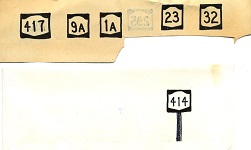
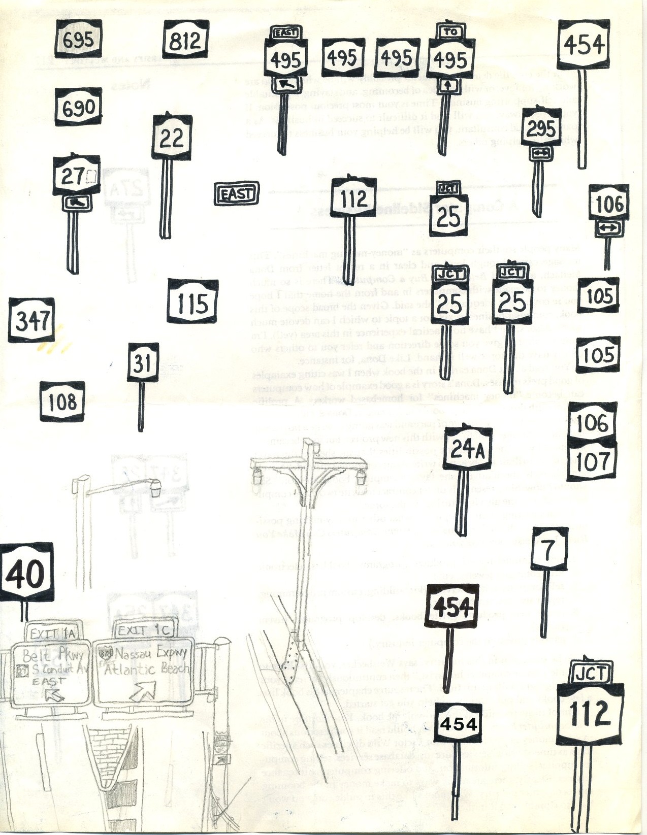
What else can I say about this except that Route 417 is old 17 in western New York, 414 is old 14 upstate, 9A is the Henry Hudson Parkway in New York City and continues to Peekskill or so as the alternate to US 9. 23 and 32 are important routes in the upper Catskill Mountains.
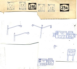
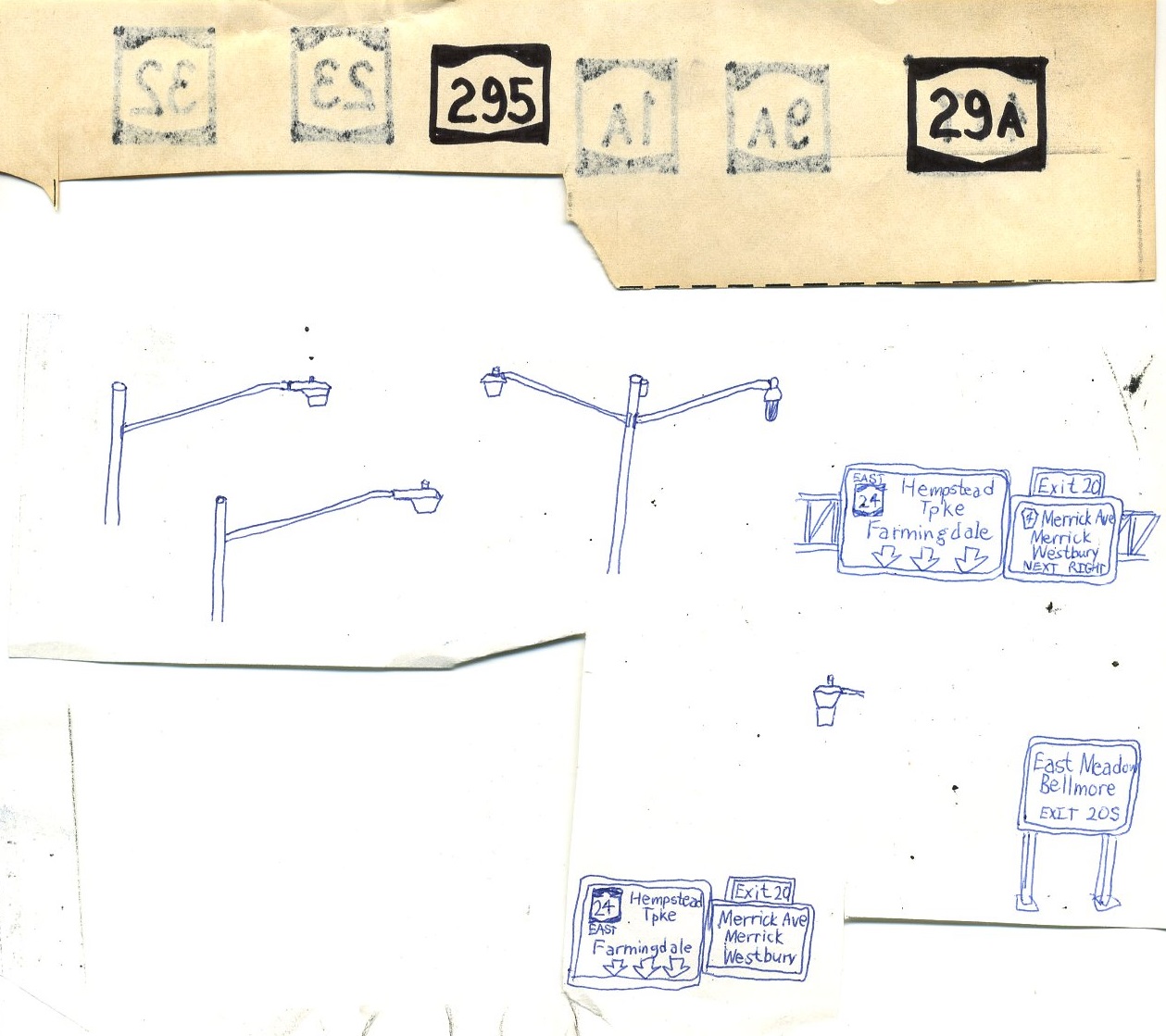
New York 295 is one of the few routes that duplicates an Interstate in New York, but it's way far away so it doesn't cause any confusion. Route 29A is upstate near 29. Other than that, we see the tops of a few lamp posts and the genesis of an idea that would be developed in the mini-sketch that follows.
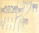
I'll probably get shot if anyone finds out about my plan to turn Old Country Road in central Nassau County, New York into an expressway. It would have had to have an interchange with Merrick Avenue and Post Avenue, though in retrospect I'm not sure if it could have had fourteen exits before that. Note the Nassau County route shields that weren't used when the sketch was drawn and are not used today either-- one has to go back to the 1960's to see any of those. The signs are well-drawn, though.
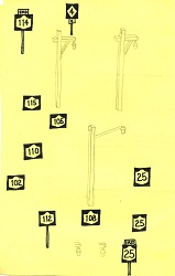
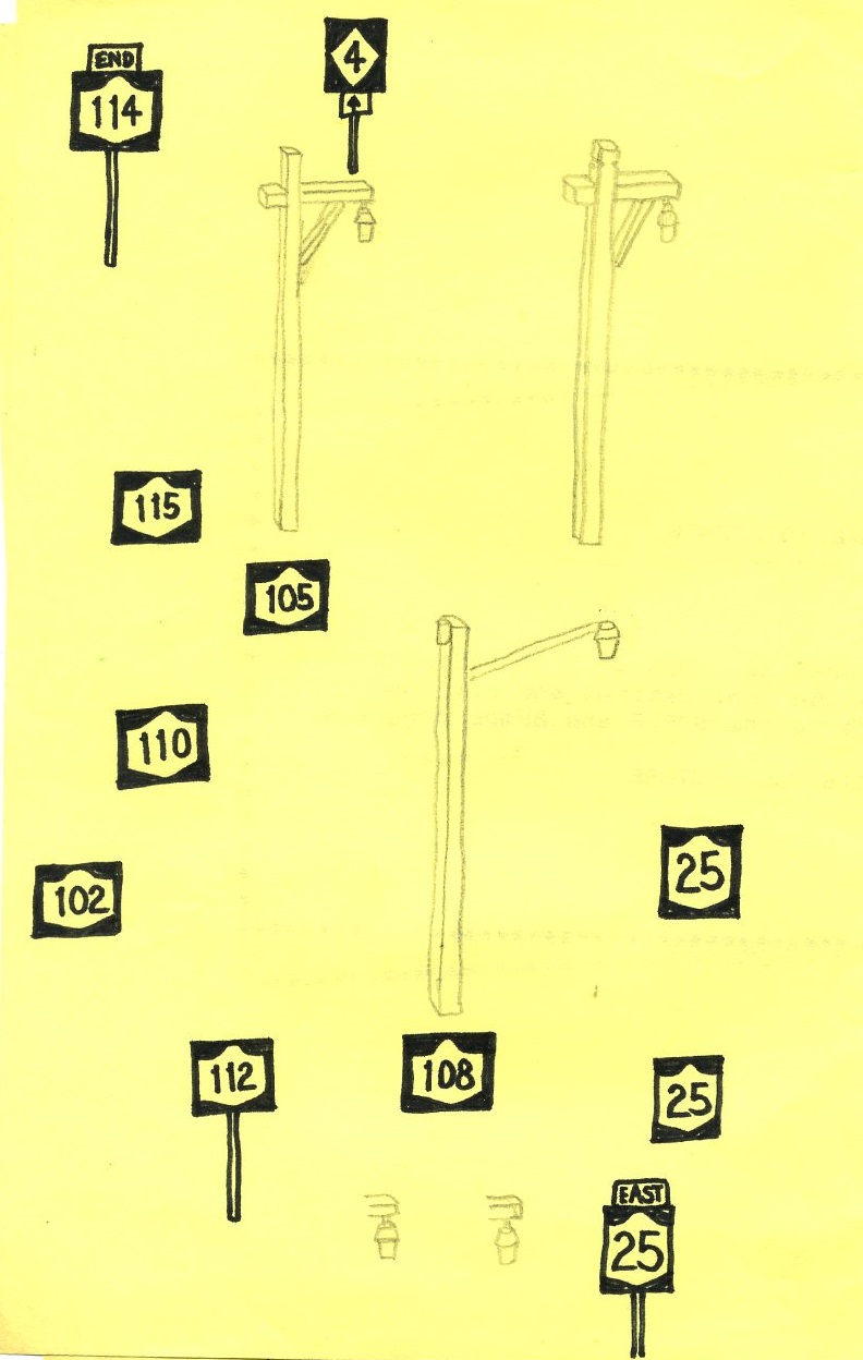
Here we see a couple of early-style Long Island parkway lamp posts and the jury-rigged wooden pole with aluminum arm that was used as a stop-gap until the wooden posts were replaced with expressway-style poles. Of the route shields, the most notable is NY 115, which was most of Wantagh Avenue until around 1972 when that was turned over to Nassau County. NY 115 is now the Salt Point Turnpike upstate.
Three more workman-like touring route shields, anxious to help you get to your destination.
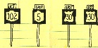
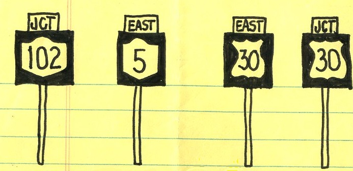
NY 102 is Front Street, a route well-trodden by me in my youth. I don't think I ever quite nailed the US route shield; it's a little trickier than the New York State shield. US 30 is Ohio is one of my favorite roads today; I had probably never been on US 30 in 1985, so I don't know why it made this group.
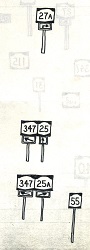
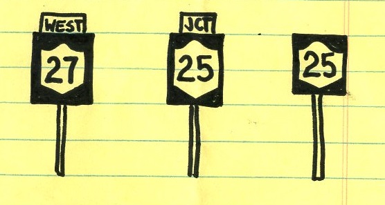
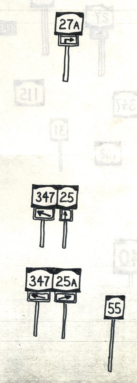
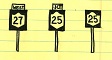
The 27A sign could be where it splits from Sunrise Highway in Massapequa, or it could be where it leaves Merrick Road near there. I always found that piece of 27A interesting since it isn't signed on Merrick Road in Nassau County, and nearby is secret route 900D, Old Sunrise Highway. 347, 25, and 25A were hangouts for me on the way to my sister's house.
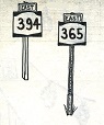
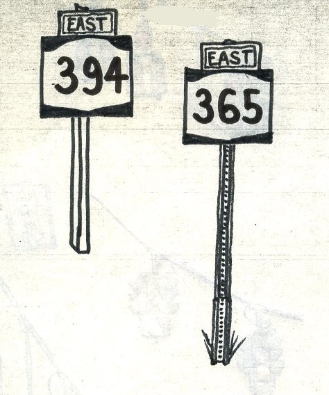
I'm not sure why NY 394 interested me as I had most likely never seen it by 1985. NY 365 is near the Vernon Downs harness track upstate, which I had seen several times by then. Note the high detail on the 365 sign post.
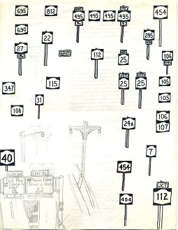
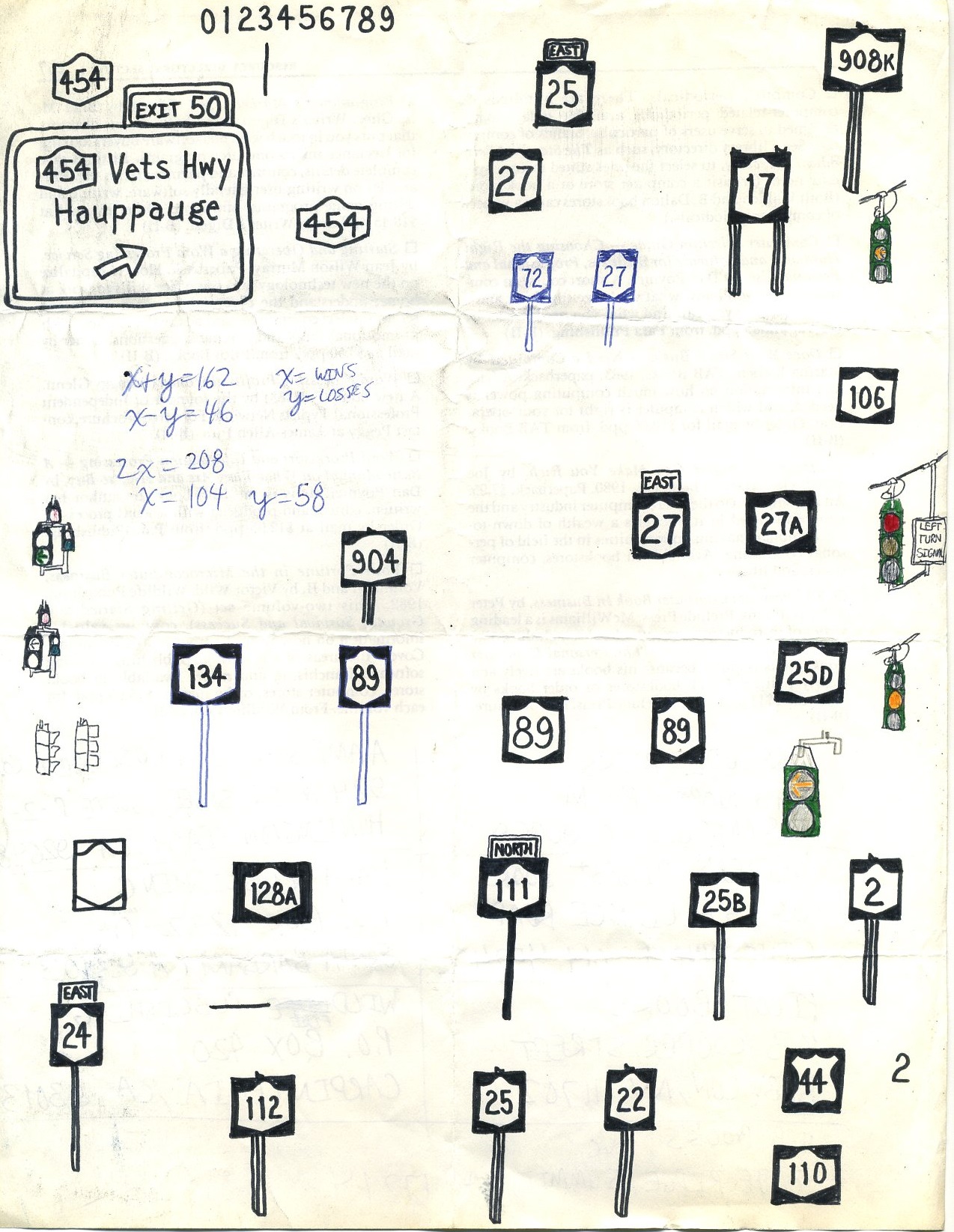
This is a busy set of doodles. NY 812 has fascinated me because it is a posted 800-series route; few touring routes go that high. The odd-looking 27 sign is a recycled 27A sign, of which I recall seeing at least one. The Nassau Expressway sign simply expresses my hope that the highway will be completed some day. The parkway lamp post on a concrete divider is something that may actually have happened in the 1970's on the Belt Parkway in Queens or Brooklyn-- but more likely, the wooden lamp posts were removed any time a Jersey barrier was installed. Route 24A was Hempstead Turnpike briefly while the Long Island Expressway held the distinction of being 24. One of the 454 shields has rub-on Helvetica numbers instead of freehand numbers.
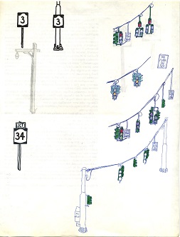
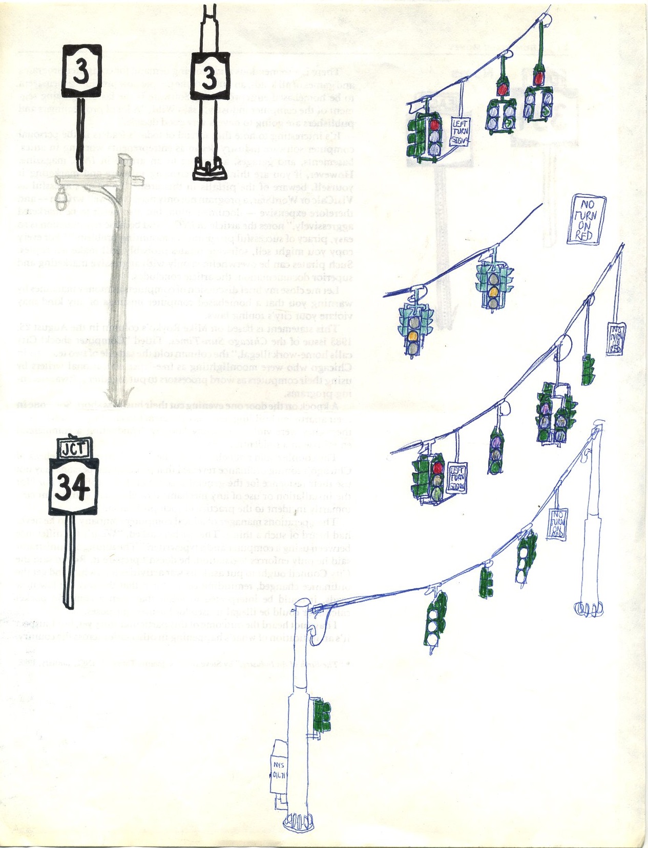
A good, detailed pencil sketch of a parkway lamp post and some practice doodles of colored traffic signals headline this sheet of paper.
The NY 454 sign was intended to be on Sunrise Highway before the lack of a separate exit for it from the mainline became apparent as the expressway was constructed. Secret route 908K is the Sagtikos Parkway and Sunken Meadow Parkway, but I don't know of it ever having a mistaken touring route sign like that. NY 25D was Horace Harding Boulevard in Queens before the Long Island Expressway was constructed. NY 904 is actually now 900B between Greenvale and Glen Cove but the reference markers (as usual) were never updated. The US route shields will take a lot more practice to get right; farming them out to another artist may be easier.